
Shining Tor - Peak District Walk
Friday 27th October 2017
As complications following John's second operation had curtailed our walking over the last month we ignored the fact it was half-term and decided to make the most of the good weather forecast for today. As expected certain sections of the walk were busy but by following some less popular paths we were able to enjoy some peace and quiet.
Start: Errwood Hall car park (SK 0111 7484)
Route: Errwood Hall car park - Errwood Hall - Foxlow Edge - The Tors - Shining Tor (TP) - Goytsclough Quarry - Goyts Clough - Errwood Hall car park
Distance: 6.75 miles Ascent: 407 metres Time Taken: 4 hrs 45 mins
Terrain: Good, clear paths
Weather: Sunny with a cool edge to the wind
Pub Visited: The Devonshire Arms, Hartington Ale Drunk: Black Sheep Bitter

A quick snap of the reflections in Errwood Reservoir before we began the walk.
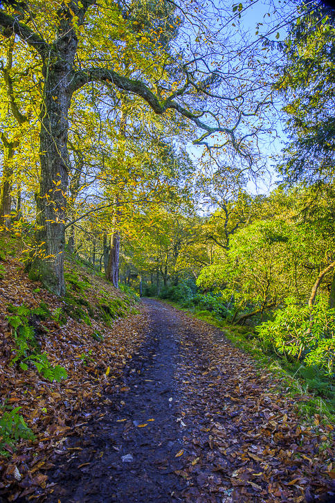
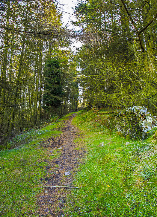
Following the path through the wood towards Errwood Hall.

It was very difficult to get a shot of the hall that didn't include young children exploring the ruins.
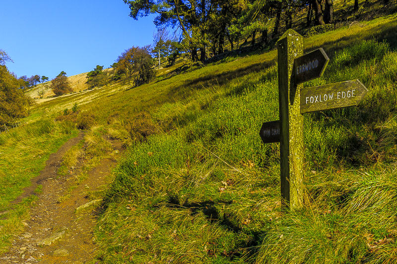
We normally follow the path along the bottom of the valley but today turned back on ourselves and headed towards Foxlow Edge.
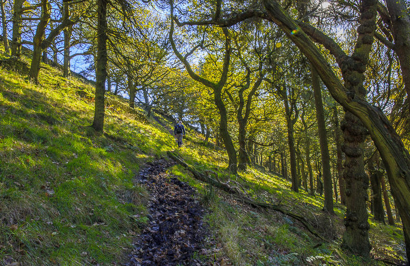
A short, muddy climb through the trees took us up to Foxlow Edge.

After crossing the wall at the top of the wood we were rewarded with views across the valley, here looking towards Wild Moor.

Looking across the valley towards Withinleach Moor.

The path along Foxlow Edge follows the wall.

Shooter's Clough from Foxlow Edge.

There are certainly some great long distance views from Foxlow Edge, here looking across towards Brown Knoll.

If you know what you are looking for it is possible to pick out the signs of the Iron Age fort of Castle Naze which is located on Combs Moss.

As we walk along Foxlow Edge Mam Tor and the Great Ridge come into view.

We soon find oursleves at the end of the edge following the clear path towards the road.

Before heading along The Tors we enjoyed a prolonged coffee break in the sunshine, looking across towards Windgather Rocks where a bank of cloud seems to be heading our way.

We sat for some time enjoying the views and trying to time our departure so we we weren't walking right on top of the many people who were also heading along the path.

Looking back to the rocks known as Oldgate Nick.
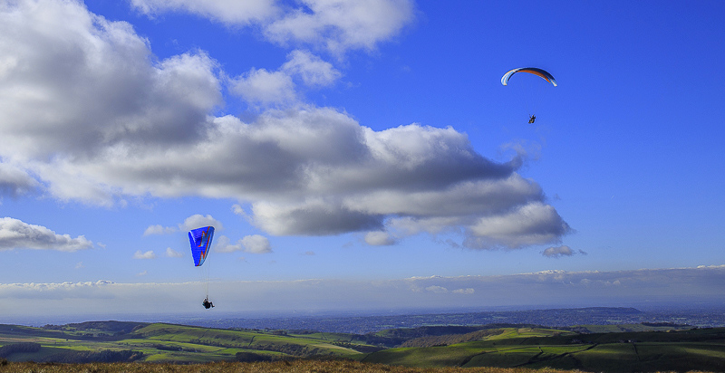
Several of the people who had passed us earlier had been carrying rather big packs on their backs, now we knew why.

Foxlow Edge from The Tors.

Looking back along The Tors.

Wild Moor from The Tors.

Cats Tor from the path to Shining Tor.

Brown Knoll beyond Foxlow Edge, from the path to Shining Tor.

Looking back along The Tors from the Derbyshire side of Shining Tor's summit.
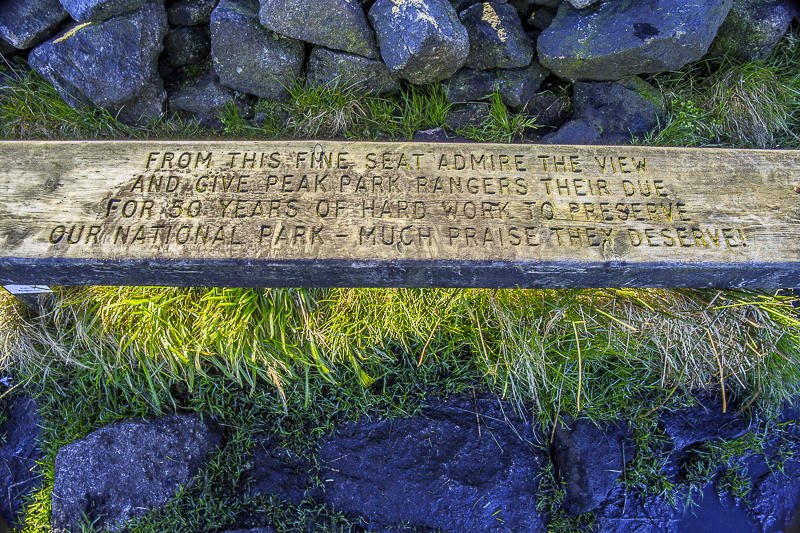
The Park Ranger bench found at the summit of Shining Tor, although given the puddle of mud it was surrounded by no-one wanted to use it today.

Some interesting light as we look across to Shutlingsloe before seeking the shelter of the wall in order to eat our lunch.

The almost compulsory trip to visit the county top of Cheshire.

Instead of following the path down Stake Side we take the path towards Stake Clough. Across the valley Berry Clough is illuminated by the last of the day's sunshine.

Looking along the Goyt Valley from the descent. I think the hill in the centre of the shot is called Hanging Rock.

A fair bit of the descent is alongside a rather high fence so the only way I could get this shot was from the top of a stile. The TV mast makes it much easier to identify Ladder Hill.

A final view of the reservoir before we reach the valley floor.
After crossing Deep Clough we have a short walk through the wood before we reach the road.

Foxlow Edge comes back into view as we approach the road and the short walk back to the car park.
All pictures copyright © Peak Walker 2006-2023